Description
 Lower Salinas Paso Robles Creek Area Watershed
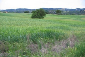
The portion of the Salinas River Watershed classified here is located centrally within San Luis Obispo’s North County region and encompasses Paso Robles Creek. Because of the extensive reach of the Salinas River watershed, we have utilized a watershed grouping scale that is consistent with the CalWater hydrologic unit code 10, which separates the River into 3 segments within San Luis Obispo County. We have merged 3 of the Indian Valley subwatersheds into this grouping since the bulk of the Indian Valley watershed is located in Monterey County. A majority of the City of Paso Robles, approximately one-half of the City of Atascadero (northern portion), the town of San Miguel, and the community of Templeton are all located within this watershed. It is within this watershed that most development has occurred along the Salinas River, both urban and rural agricultural. The western portion of the watershed is characterized by higher elevations with more dense oak woodlands whereas east of the Salinas River is characterized by more rolling hills and terraces. The peak elevation within the watershed occurs at the westernmost boundary reaching approximately 2,460 feet. The sub-watersheds drain toward the Salinas River. The northern portion of the watershed contains the point at which the Salinas River leaves San Luis Obispo County and flows into Monterey County. The headwaters are in the Coast Ranges, east of city of Paso Robles. The dominant land use is agriculture with a strong urban component located adjacent to the Salinas River. As urban uses are located next to the Salinas, multiple river crossings occur in this watershed and the 101 freeway parallels the Salinas River in many locations.
WATERSHED OVERVIEW
|
Hydrologic Unit Name:
|
Salinas 9
|
|
Water Planning Area:
|
Atascadero/ Templeton WPA 13, Salinas/ Estrella WPA 14
|
|
Acreage:
|
143,654 acres
|
|
Flow to:
|
Salinas River (to Monterey Bay National Marine Sanctuary)
|
|
Groundwater Basin(s):
|
Paso Robles, Paso Robles Creek
|
|
Jurisdictions:
|
County of San Luis Obispo, Paso Robles (ptn), Atascadero (ptn), Templeton, San Miguel, Camp Roberts
|
|
Watershed Plans:
|
None
|
Full Data Snapshot
Download the Watershed Snapshot for more detailed information such as:
- Rainfall
- Geology
- Hydrology models
- Vegetation
- Special status wildlife and plants
- Land use
- Demographics
- Major changes in the watershed
- Watershed health
- Groundwater