Description
 Lower San Juan Creek Watershed
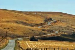
The Lower San Juan Creek watershed is located in the eastern portion of the county to the north-west of the Carrizo Plains. The headwaters are located in the La Panza range with the highest point at approximately 3600-feet. The confluence of San Juan Creek with the Estrella River occurs at Shandon. The dominant land use is agriculture. The San Juan Creek Valley is generally used most intensively for agriculture because of better soils and water availability. Irrigated production has increased during the last 10 years, particularly in vineyards and alfalfa. Dry farming and grazing operations encompass the rest of the agricultural uses. The riparian forest and a portion of the adjacent upland areas associated with the Estrella River and San Juan Creek in the vicinity of Shandon are important wildlife habitat, and serve as important corridors for wildlife movement. San Joaquin kit fox and Western burrowing owl occur in open grasslands. Another important wildlife movement corridor is located near the base of the hillside near the eastern edge of Shandon.
WATERSHED OVERVIEW
|
Hydrologic Unit Name:
|
Estrella 17
|
|
Water Planning Area:
|
Rafael/ Big Spring WPA 11, Salinas/ Estrella WPA 14
|
|
Acreage:
|
114,329 acres
|
|
Flow to:
|
Salinas River via Estrella River – to Pacific Ocean (Monterey Bay National Marine Sanctuary)
|
|
Groundwater Basin(s):
|
Paso Robles
|
|
Jurisdictions:
|
County of San Luis Obispo, Shandon (ptn), Los Padres National Forest
|
|
Watershed Plans:
|
None
|
Full Data Snapshot
Download the Watershed Snapshot for more detailed information such as:
- Rainfall
- Geology
- Hydrology models
- Vegetation
- Special status wildlife and plants
- Land use
- Demographics
- Major changes in the watershed
- Watershed health
- Groundwater