Mapping (GIS)
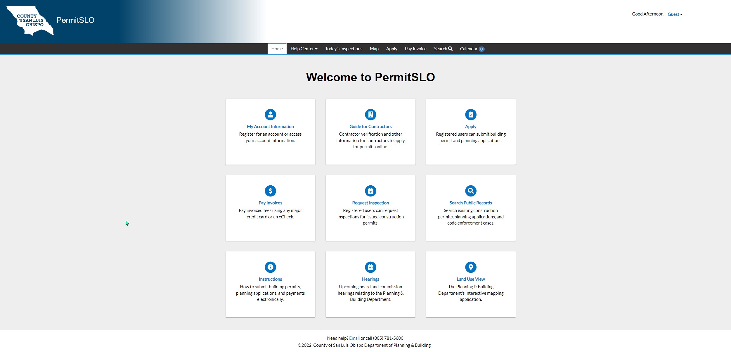
The Department of Planning & Building's geographic information system (GIS) - part of the larger, countywide enterprise GIS - is administered by information systems staff who create, maintain, analyze, and map geo-spatial data. This data is used to support many of the Department's day-to-day operations, and is made available to the general public to view through its LandUseView mapping application and to download through the County Open Data and Web App Gallery.


