Tract Map
The process of dividing real property into more than four lots for the purposes of sale, lease or financing (including condominiums). State law requires approval and recordation of a map showing the division before sale, lease or financing of a new parcel can legally occur. Tract maps are acted on by the Planning Commission.
A land division occurs when a parcel of land is divided into two or more parcels, each of which can be sold and owned independently of the others. The Department of Planning & Building processes land division applications for subdivision entitlements according to the provisions of the state Subdivision Map Act and the County Real Property Division Ordinance.
What is the process?
Step 1: Request a Tract Map Number
- Obtain a map number first, by following the steps for a Map Number Request here.
- Once you have the autogenerated map number, ensure the map number is printed on the tentative tract map.
Step 2: Application, Tentative Map, and Supporting Docs
Step 3: Apply Online
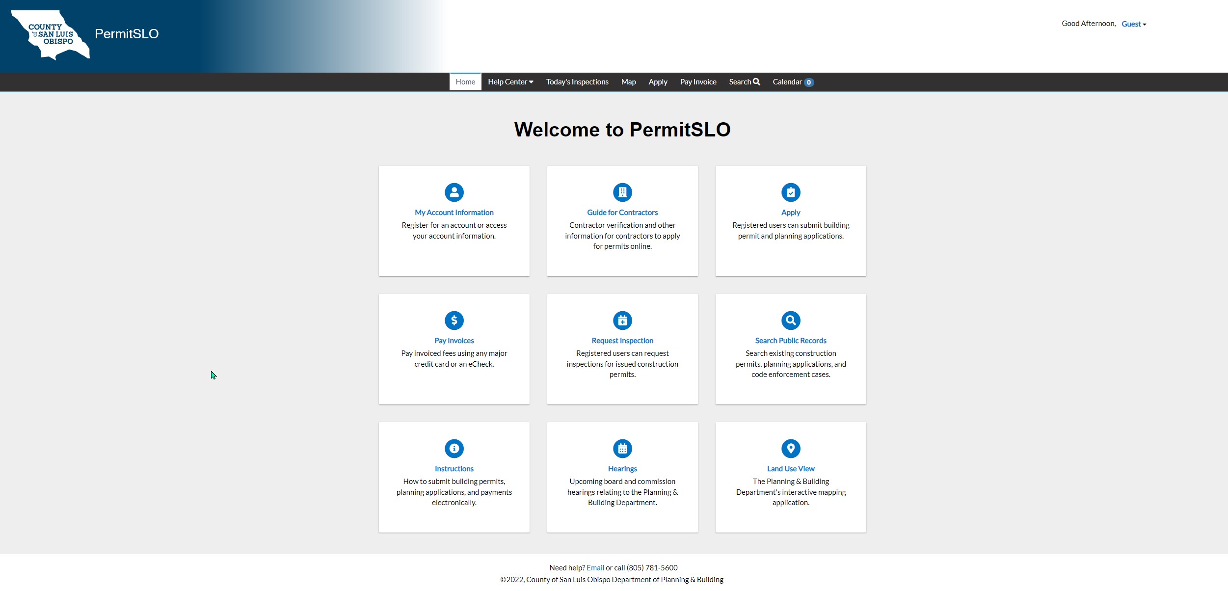
Please apply for a tract map through the online service PermitSLO.
*** Please ensure all documents reflect the map number. ***
- To apply online, click Subdivision Application
- Click Apply
- Login by providing your email address and clicking "Next", or "Create an account", if you are a new user.
- Follow the step-by-step instructions.
- Upload the Attachments Necessary for a Tract Map Online Submittal before clicking Submit.
*Digital Copies are now required with submission*
Planning staff will look over the application submittal package and contact the primary contact with any questions.
If you would like to learn more about our online services, click here: Learn about PermitSLO.
Step 4: Pay Invoice
Planning staff will email the billing contact an invoice. Pay invoice here*.
Once the invoice is paid, the project review timeline will begin.
Please note for all Planning and Building applications, after 15 days of non-payment of invoice, the application will be voided and resubmittal will be required.
Step 5: Review by Staff
Department of Planning & Building staff reviews the application for consistency with applicable land use regulations and the California Environmental Quality Act (CEQA). You may be asked for additional information during this time.
Step 6: Schedule Hearing
Once the application, tentative map, and additional information is accepted for processing, the planner will schedule the application for a public hearing with the Planning Commission.
Step 7: Reach Decision
During the public hearing, the hearing body considers the application and reaches a decision to either approve, conditionally approve, or deny the application.
Step 8: Appeal Decision (Optional)
Any aggrieved person can appeal a decision to the Board of Supervisors. Projects located within the Coastal Zone can also be appealed to (or by) the California Coastal Commission.
Step 9: Record Subdivision
The applicant must record the approved subdivision within two years of its approval date.
Step 10: Extend Approval (Optional)
The applicant may request a time extension, in writing, to extend the approval date for one year. The maximum number of available time extensions is based on the subdivision entitlement type.
Who is eligible?
The owner of the subject property or anyone who is given consent by the owner of the subject property may use this service.
Is there a charge for this service?
Please refer to the Department of Planning & Building Fee Schedule for application fees.
When and where is this service offered?
This service is available throughout the year during regular business hours except during scheduled holidays.
Location, directions and hours of operation
Click on location name to show hours of operation, directions and phone information
Monday - Friday 8:30 AM - 4:30 PM
976 Osos Street Room 200
San Luis Obispo, CA 93408
Tel: (805) 781-5600
Fax: (805) 781-1242
Permits/Inspections: (805) 788-6602

