Mapping/GIS
 The Assessor's responsibilities include locating, inventorying, tracking ownership, and appraising for property tax purposes all property located within the county. To achieve this, the Assessor's Office is required to create a complete set of maps showing each property within the county for assessment purposes.
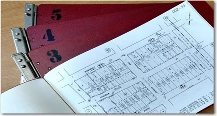
The function of the Mapping/GIS section is to create and continuously maintain Assessor's maps. When making changes the Assessor looks at all maps recorded in the county such as tract maps, condominium plans, and subdivisions as well as Parcel Boundary Change Requests submitted to our office. The Mapping/GIS section will either make changes to existing assessment maps or create new assessment maps as required.
The Assessor tracks over 128,000 parcels within the county. Without a standardized mapping system and a dedicated team to maintain the maps the Assessor could not efficiently perform his duties. The Assessor relies on the Mapping/GIS section of the office to provide accurate, up-to-date information in the completion of his required duties.