Description
 Upper San Juan Creek Watershed
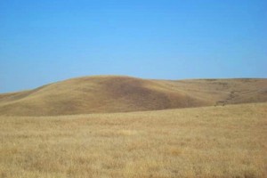
The Upper San Juan Creek Watershed is located in the eastern portion of the County directly adjacent to the Carrizo Plain. The headwaters are located in the La Panza range with the highest point at approximately 3900-feet. The confluence of San Juan Creek with the Estrella River occurs north of Creston. San Juan Creek, a permanent stream, affords recreational possibilities. The mountain slopes are excellent for hiking and riding. Wildlife is abundant, and geology and natural vegetation are of special interest. A spectacular view of the Carrizo Plain is provided from these mountains. The San Juan Creek Valley is generally used most intensively because of better soils and water availability. Irrigated production has increased during the last 10 years, particularly in vineyards and alfalfa. Dry farming and grazing operations encompass the rest of the agricultural uses.
WATERSHED OVERVIEW
|
Hydrologic Unit Name:
|
Estrella 17
|
|
Water Planning Area:
|
Rafael/Big Spring WPA 11, Salinas/Estrella WPA 14
|
|
Acreage:
|
164,198 acres
|
|
Flow to:
|
Estrella River – to Salinas River and Pacific Ocean (Monterey Bay National Marine Sanctuary)
|
|
Groundwater Basin(s):
|
Paso Robles, Big Spring Area, Rafael Valley, Cuyama Valley (ptn)
|
|
Jurisdictions:
|
County of San Luis Obispo, Los Padres National Forest
|
|
Watershed Plans:
|
None
|
Full Data Snapshot
Download the Watershed Snapshot for more detailed information such as:
- Rainfall
- Geology
- Hydrology models
- Vegetation
- Special status wildlife and plants
- Land use
- Demographics
- Major changes in the watershed
- Watershed health
- Groundwater